Appellations as Transport Geography
The Alcohol and Tobacco Tax and Trade Bureau (TTB) designates American Viticultural Areas by petition, drawing boundaries around shared soils and climate — not around roads or parking. That bureaucratic distinction matters to every TCP permit holder working the Santa Ynez Valley, because three of Santa Barbara County's most commercially active AVAs are also three of its least convenient destinations for anything larger than a sedan.
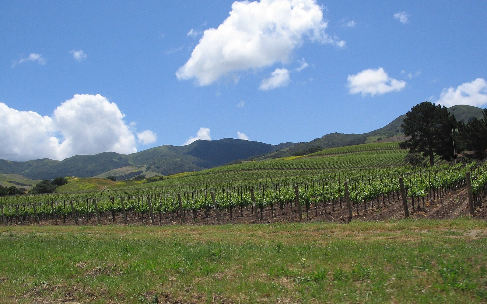
The Sta. Rita Hills AVA, established by the TTB in 2001, covers roughly 31,000 acres in the western Santa Ynez Valley between Lompoc and Buellton. Its working wineries and tasting rooms stretch along Santa Rosa Road and Highway 246 — a corridor that runs east–west through flat bench land, with considerable distances between individual properties. A party visiting four producers in a single afternoon may accumulate fifteen to twenty miles of internal movement within the AVA alone, before accounting for the transit from Santa Barbara along US 101 or Highway 154. That internal mileage is what fills charter vehicles: not the drive out, but the looping between stops.
Ballard Canyon, designated by the TTB in 2013, is far smaller — approximately 7,700 acres — and concentrated along a single named canyon road north of Solvang. The physical containment sounds like an operator's convenience, but the road itself is narrow, with limited turnaround options for anything above a full-size SUV. According to Santa Barbara Vintners, the canyon hosts a handful of estate producers whose tasting operations are appointment-only, meaning a day charter here often runs two or three stops across a full afternoon with extended dwell times rather than many quick visits. Vehicle choice skews toward the Cadillac Escalade ESV or the Chevrolet Suburban rather than an executive Sprinter; the canyon's shoulder width discourages longer wheelbases.
Happy Canyon, the easternmost of the three, received TTB designation in 2009. Its roughly 24,000 acres sit beyond the town of Santa Ynez toward the Santa Barbara County line, in terrain that runs warmer and drier than the fog-influenced Sta. Rita Hills. Tasting room infrastructure is thinner here than in either of the other two AVAs — Happy Canyon producers include several estate operations not open to casual visitors — which means demand is concentrated among a narrower slice of the market: trade buyers, wine-club members with appointments, and corporate groups. Those categories correlate strongly with full-day executive charters rather than half-day winery tours.
How Spatial Spread Builds the Rate
The economic logic is straightforward once the geography is mapped. A carrier picking up a party in Montecito and routing through all three AVAs in a single day faces roughly 120 to 140 miles of in-service mileage before the return deadhead, depending on the sequencing of stops. Sta. Rita Hills sits westward, requiring either a backtrack or a loop; Happy Canyon pulls the opposite direction. Few operators run all three in one booking, but the spatial tension between the AVAs is precisely what makes the Santa Ynez Valley one of the higher-revenue day-charter markets in California's Central Coast region.

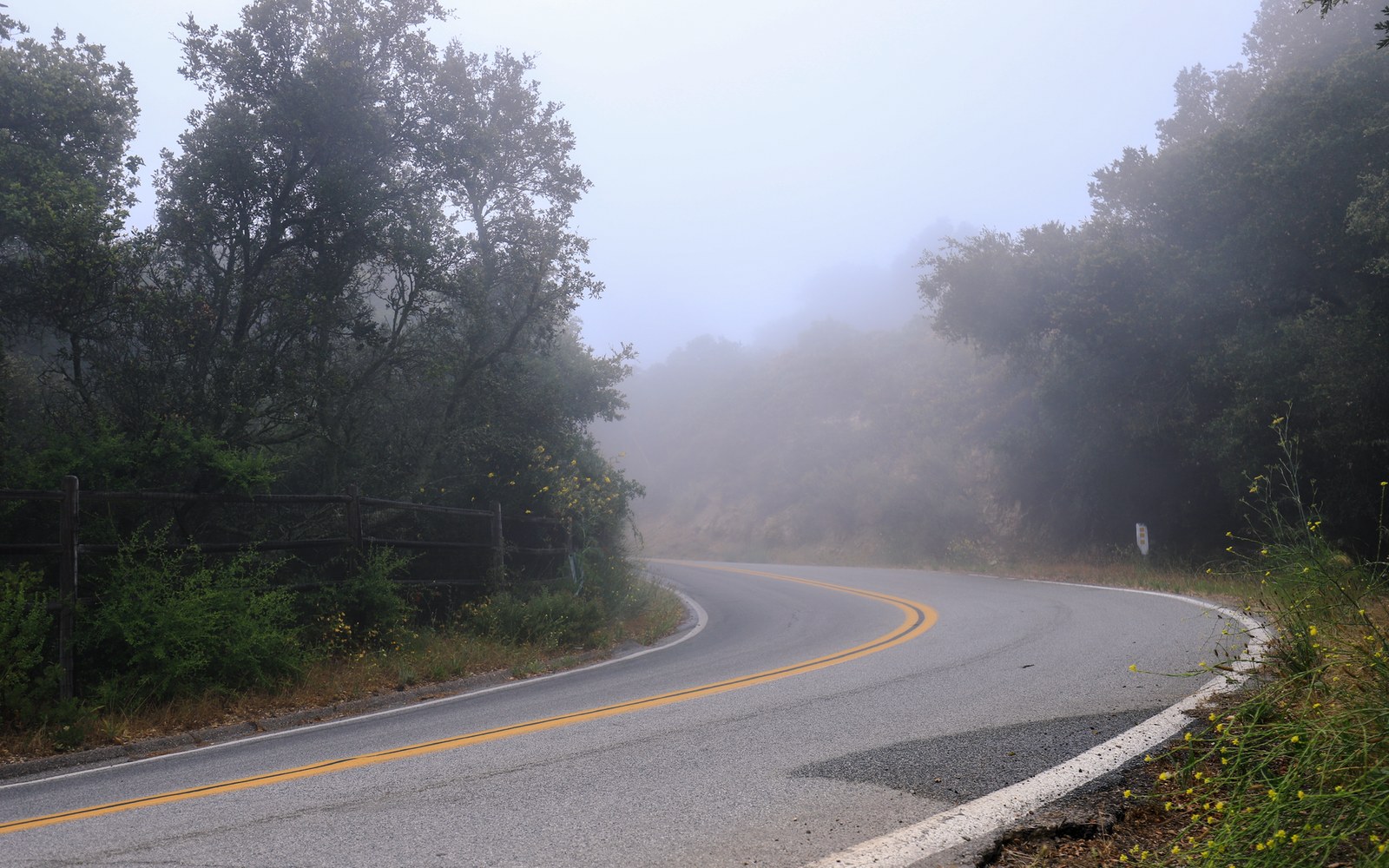
Vehicle capacity also scales with group composition. The executive Sprinter conversion, which seats eight to twelve passengers, handles most winery groups comfortably, but wineries with larger tasting facilities — particularly along the Sta. Rita Hills corridor — attract corporate buyout events where a motorcoach or mini-coach becomes the appropriate unit, provided parking and road width allow it. Operators quoting multi-AVA itineraries routinely specify vehicle class in the charter contract before confirming stops, because a route that works for an Escalade may strand a forty-passenger coach at a ranch gate.
The three AVAs, taken together, represent a transport-demand landscape as much as a viticultural one. Their TTB-drawn boundaries create the spatial relationships that determine mileage, dwell time, vehicle class, and ultimately rate structure — which is why any TCP carrier working the Santa Ynez Valley needs to read an AVA map with the same attention given to a road atlas.