Section 1 of 5
The Corridor
Highway 154, Highway 101, and the geography that shapes every run in Santa Barbara County.
7 pieces
-
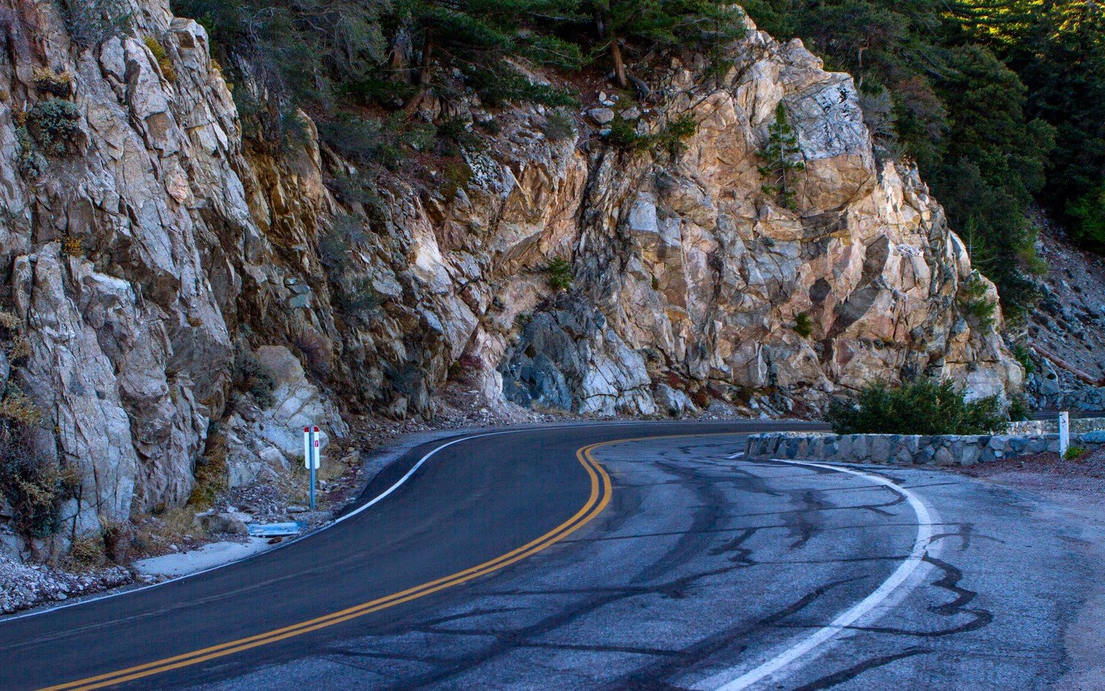
San Marcos Pass at Working Speed
Covers Highway 154 from Santa Barbara to Los Olivos — grade, switchbacks, and the operational decisions drivers make on the climb. Argues that the road's geometry, not distance, is what determines vehicle selection on Santa Ynez day charters.
-
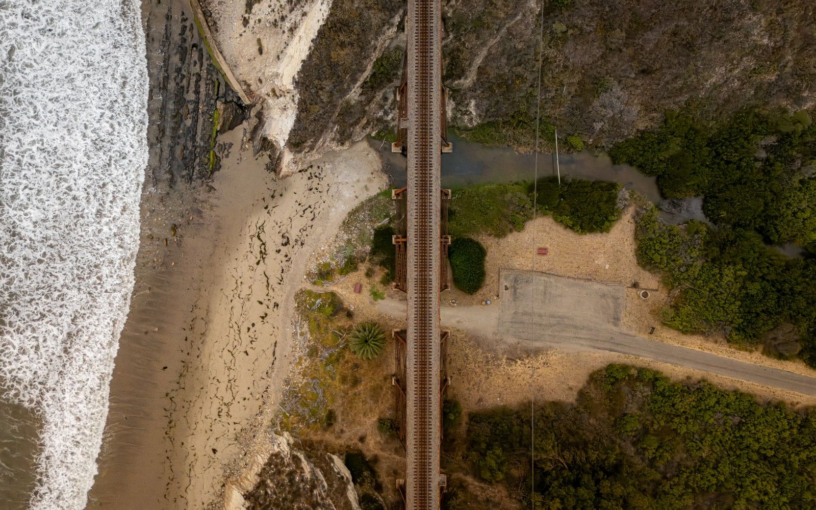
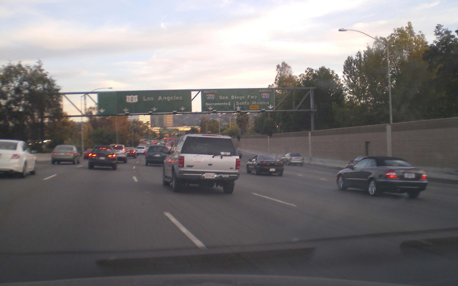
Where the 101 Runs Out of Shoulder
Examines the US 101 stretch through Montecito, Summerland, and Carpinteria to Ventura — the narrow coastal segment where the mountain meets the Pacific. Explains what the Rincon pinch point means for larger vehicles and why it shapes southbound routing decisions.
-
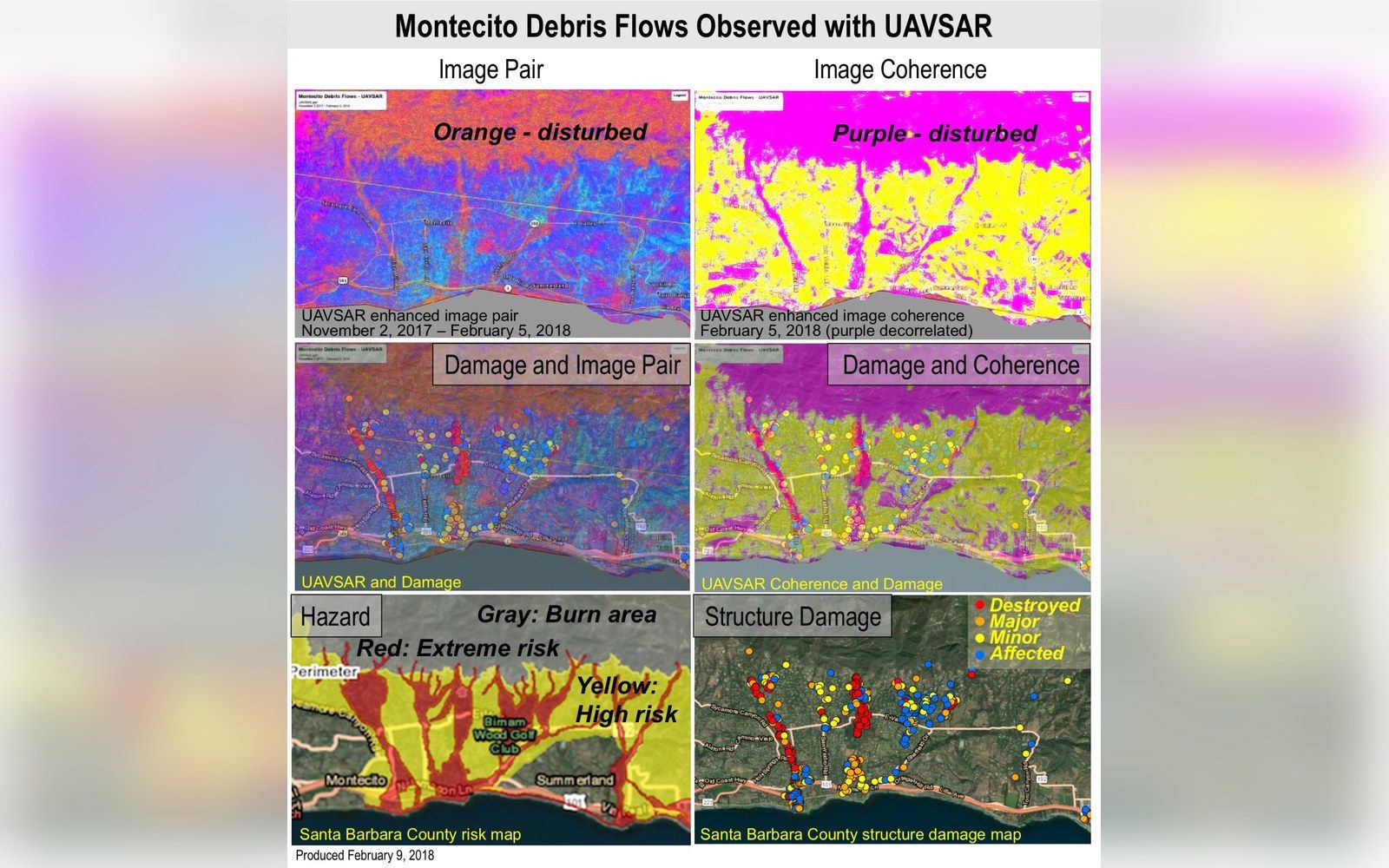
Thirteen Days the 101 Was Gone
Documents the January 9, 2018 Montecito debris flow — how the Thomas Fire (December 2017) destabilised the hills, how the 101 closure lasted thirteen days, and what routing through the 154 did to traffic volumes and commercial schedules. Uses Caltrans and Santa Barbara County OES records.
-
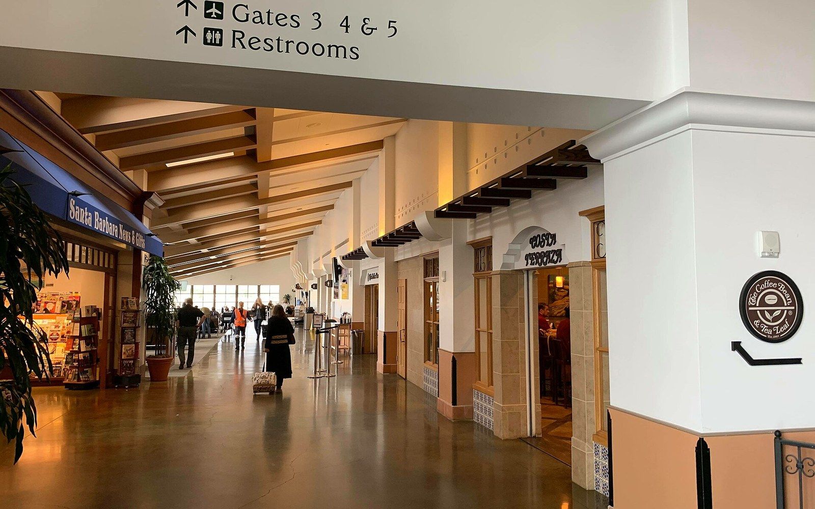
Santa Barbara Airport and the Short-Run Economics
Profiles SBA — its terminal footprint, the permit structure governing ground transport operators at curbside, and why the airport run is low-margin relative to a valley day charter. Sources the airport's own ground transportation regulations.
-
The LAX Run: Distance, Deadhead, and Why the Math Is Hard
Examines the Santa Barbara–to–LAX corridor as a business proposition — mileage, deadhead return cost, highway time, and how the fare structure compares to the day-charter alternative. Draws on NLA published rate benchmarks and CPUC charter-party rules.
-
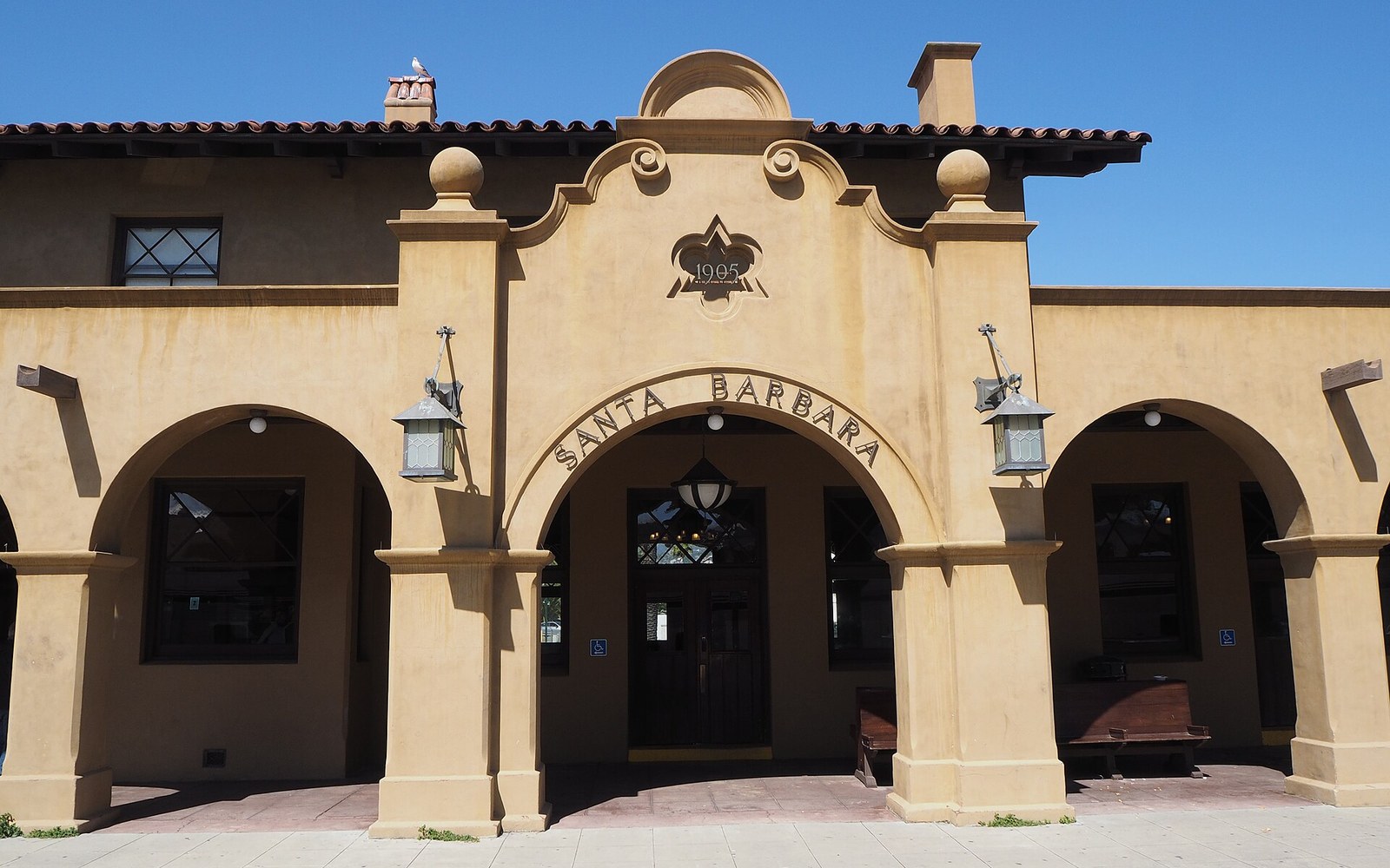
Amtrak Calls It the Surfliner. The Industry Calls It Competition.
Looks at the Pacific Surfliner's Santa Barbara–Los Angeles schedule and fare as a competing mode for the same corridor. Compares door-to-door journey time and cost for a party of two versus a chauffeured sedan, using Amtrak's published timetable.
-
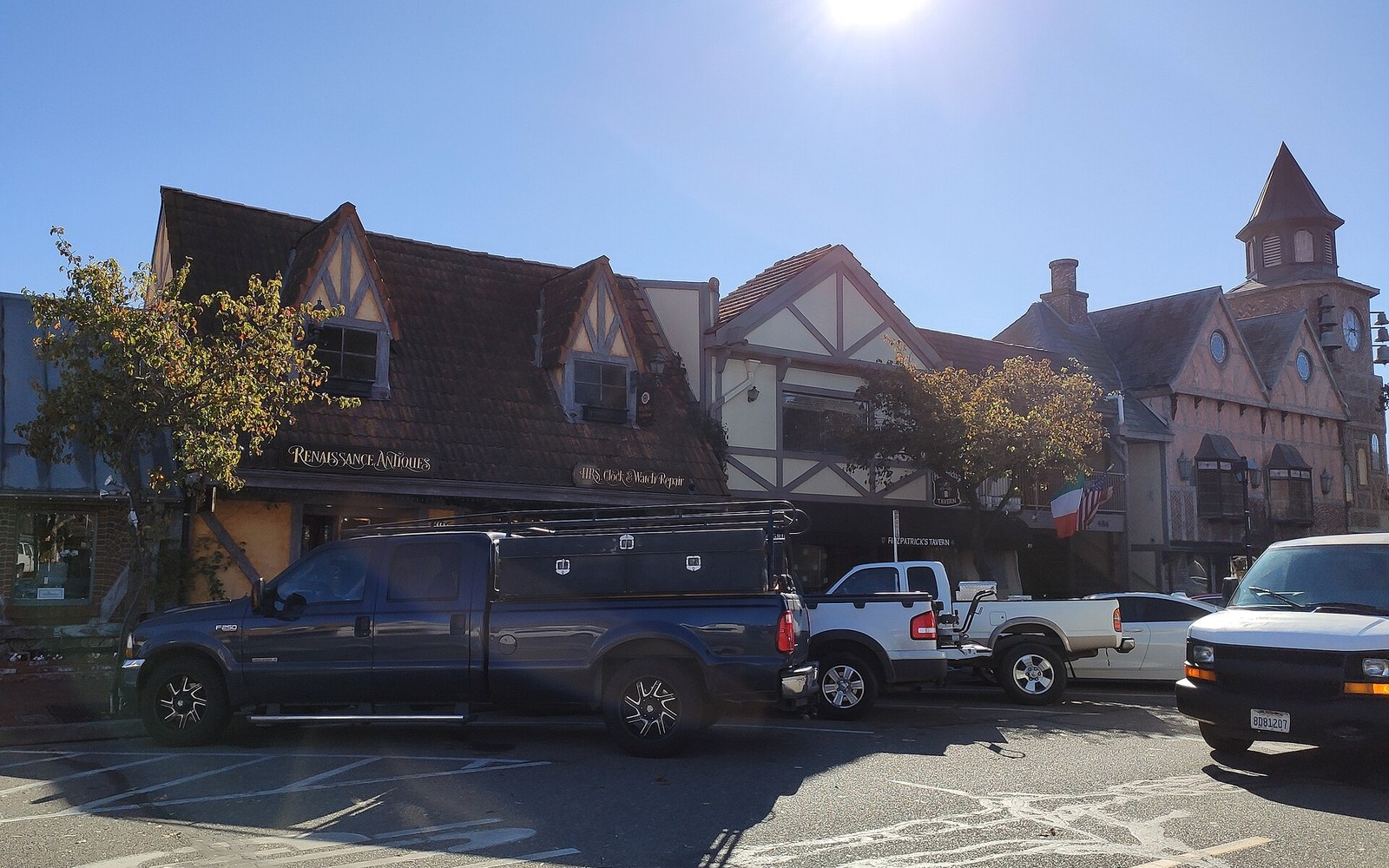
Solvang's Danish Town Plan and the Drop-Off Problem
Describes Solvang's 1911 Danish-colony street grid and the practical consequences for large vehicles — turning radii, loading zones, and pedestrian conflict in Mission Drive. Uses the city's own planning records and Highway 246 corridor documentation.