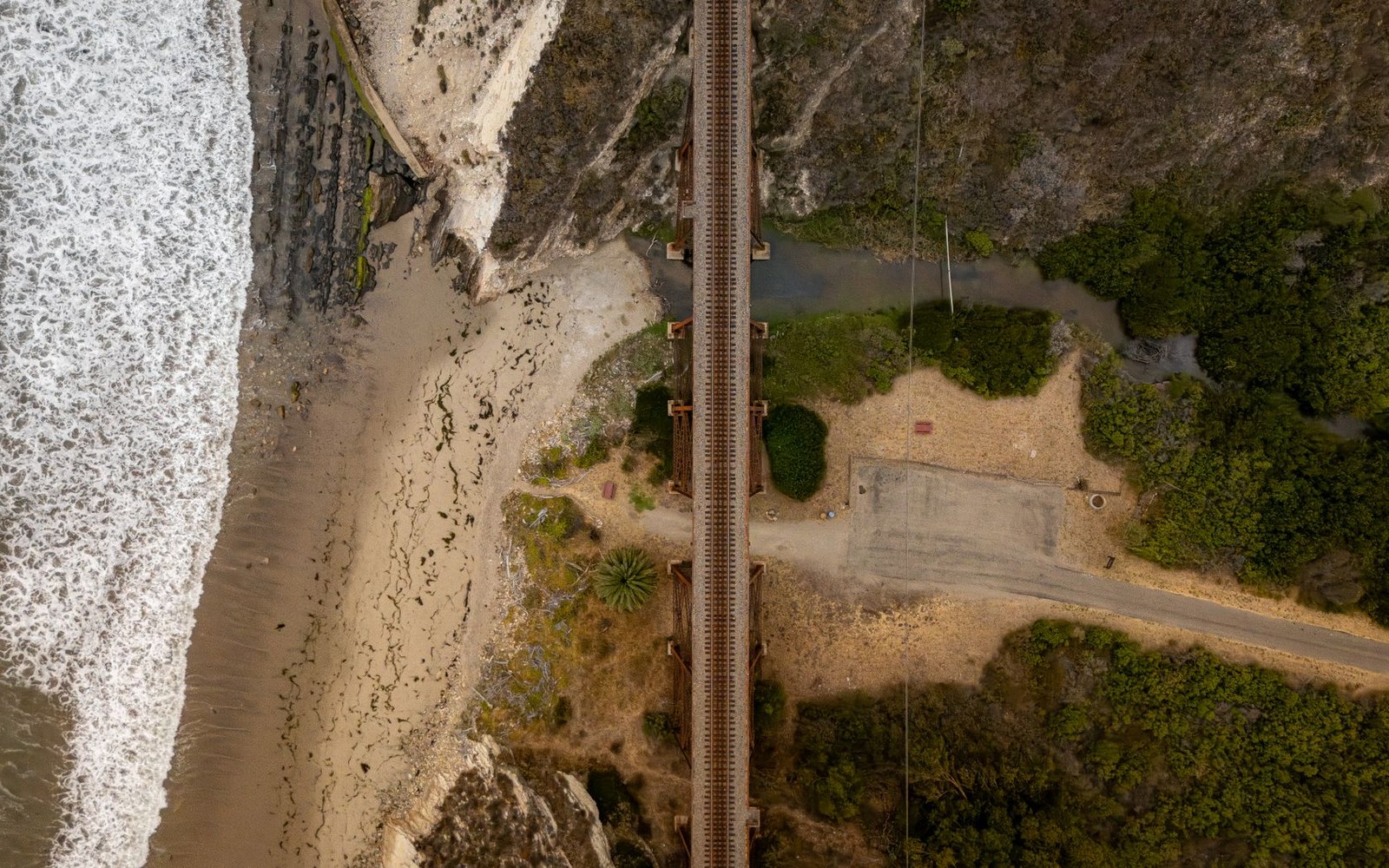
The coastal pinch between Montecito and Ventura
South of Santa Barbara, US Route 101 stops pretending it has room to spare. Through Montecito, Summerland, and Carpinteria, the Santa Ynez Mountains press against the Pacific with enough force to eliminate the margin that drivers elsewhere take for granted. The shoulder narrows, the lanes tighten, and by the time the highway reaches Rincon Point — where Santa Barbara County meets Ventura County — there is effectively no buffer between the travel lane and the rock face or the guardrail drop.
Rincon Point has a particular reputation in the TCP carrier community. The right-of-way at this segment has never been widened to full freeway standard; Caltrans district records show the coastal alignment constrained by both the shoreline and the adjacent bluff, leaving no practical acquisition corridor. For a standard black-car sedan or Escalade ESV, the pinch is inconvenient in heavy surf-traffic conditions. For a motorcoach or mini-coach, it is operationally significant: any breakdown or tire event in the Rincon segment produces an immediate partial lane block with no safe separation from live traffic.
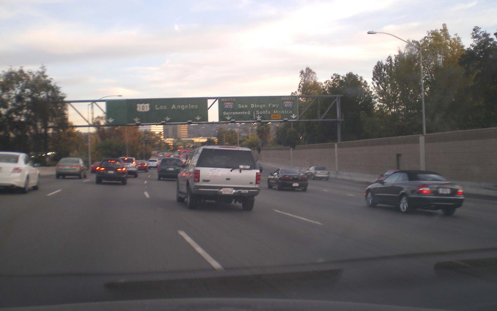
The California Highway Patrol designates the 101 through this coastal strip as a high-incident zone for secondary collisions, partly because stopped or slow vehicles have nowhere to clear to. Commercial carriers operating under CPUC TCP permits are required to carry roadside emergency equipment, but equipment cannot substitute for space that does not exist. A stalled executive Sprinter at Rincon in southbound traffic on a Friday afternoon will back up vehicles to Carpinteria before a Caltrans incident-response unit can position itself safely.
Carpinteria itself offers the last practical exit before the pinch fully closes in. Operators running large-vehicle charters to Ventura or Los Angeles who anticipate mechanical uncertainty — older stock, first post-service run, unfamiliar vehicle — will sometimes route a pre-run through Carpinteria's surface streets rather than hold position on the shoulder that isn't there.
The geometry also shapes the calculus of the LAX run. Southbound deadhead on a cleared 101 is one problem; southbound deadhead through a Rincon incident is another. Operators who run regular Los Angeles airport transfers have learned the segment's tidal pattern: surf contests at Rincon draw spectator traffic that clogs the exit ramps and compresses merge windows for larger vehicles trying to maintain speed.
None of this is unique to California — coastal highways built before federal Interstate standards always carry these compromises — but the specific combination of debris-flow risk on the 101 immediately north and the Rincon pinch immediately south means that the twelve-mile run from Montecito to the county line concentrates more operational risk per mile than any other segment on the Santa Barbara County highway network.